Statistical and numerical data are usually presented in large tables or information sheets, which sometimes look intimidating. Their visualization on a digital GIS map using colors, shades, attractive shapes simplifies and optimizes the decision-making process. The map below compares the number of college students in different states. Basically, it is a quantitative map that uses shades of brown: the darker the shade, the higher the score.
The Density Matter
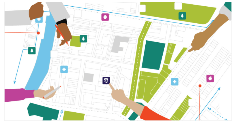
The more data that needs to be processed, the more difficult it is to understand it. Sometimes, to understand the picture, it is enough just to have a general visual representation of a higher or lower population density, placement of objects or other indicators. Real estate agencies often use GIS heat maps to analyze the distribution of prices, income, and other data over a wide area.
What’s Inside?
Once the area of interest has been identified, free gis software can identify individual features in a given area. For example, you can set the path of a hurricane as an area of interest. The next logical step is to identify the objects that are, unfortunately, located along the way. If they are within the area of interest, they are likely under the influence of the elements.
Is there a relationship?
GIS tools can map a selected point on a map to an area at a specified distance from it. The assessment of the consequences of an earthquake 47 km from Hengchun town in Taiwan is a good example of how the relationship between different points can be determined. The closer to the epicenter, the stronger the magnitude and the greater the damage to the territory.
Identifying GIS Changes
Changes are ongoing, but their dynamics can be tracked using GIS mapping services. Comparing images with different dates using time series analysis can help you identify trends and make more informed decisions. This method is especially effective in forestry, for example, where deforestation monitoring is required. LandViewer provides satellite imagery of deforested areas. A series of images capturing changes illustrate this process.
GIS Mapping: Agricultural Applications
Nowadays it is difficult to imagine a time when GIS technologies were not used in agriculture yet. Modern farmers and agronomists simply cannot provide sustainable food production without the use of GIS mapping services, along with the use of GPS and smart agricultural technology.
Agriculture today has an impressive number of Earth remote sensing and geographic information systems applications:
- identification and classification of different types of crops ;
- visualization of the state of crops based on the values of vegetation indices;
- loading and visualization of data from agricultural machinery;
- using different map layers on one screen.
Crop Monitoring performs all of the above functions. The platform also integrates various types of data for easy visualization on a single screen using GIS mapping tools. The product combines raster and vector data and provides farmers with valuable insights to help them make informed decisions. The examples below illustrate how GIS mapping is applied in Crop Monitoring.
Crop Monitoring uses GIS heat maps to display vegetation densities , where deep red corresponds to extremely low index values. The choice of red in this case has a psychological connotation: red stimulates emotions and attracts attention. A number of vegetation indices in Crop Monitoring (including NDVI , MSAVI and ReCl) provide a more complete picture of crop health at each stage of growth. The user can download index maps in raster and vector formats.
Another interesting feature is the mapping of data that comes from agricultural machinery. Crop Monitoring users can import databases into the product directly from the machine, such as crop density, field elevations, spraying operations, topsoil temperature, and more. The difference in quantity and density is conveniently visualized on the screen in the form of various GIS maps.
The Greater Perspectives of GIS Cartography
In fact, GIS maps have long been an integral part of our daily lives and help with workflows. It is simply impossible to list all the applications:
- location search;
- obtaining additional information about objects (shops, restaurants, places of rest);
- geoecological monitoring ;
- discovery of mineral deposits;
- crop monitoring and much more.
By providing farmers and growers with critical and timely data, digital GIS maps play an essential role in agriculture.